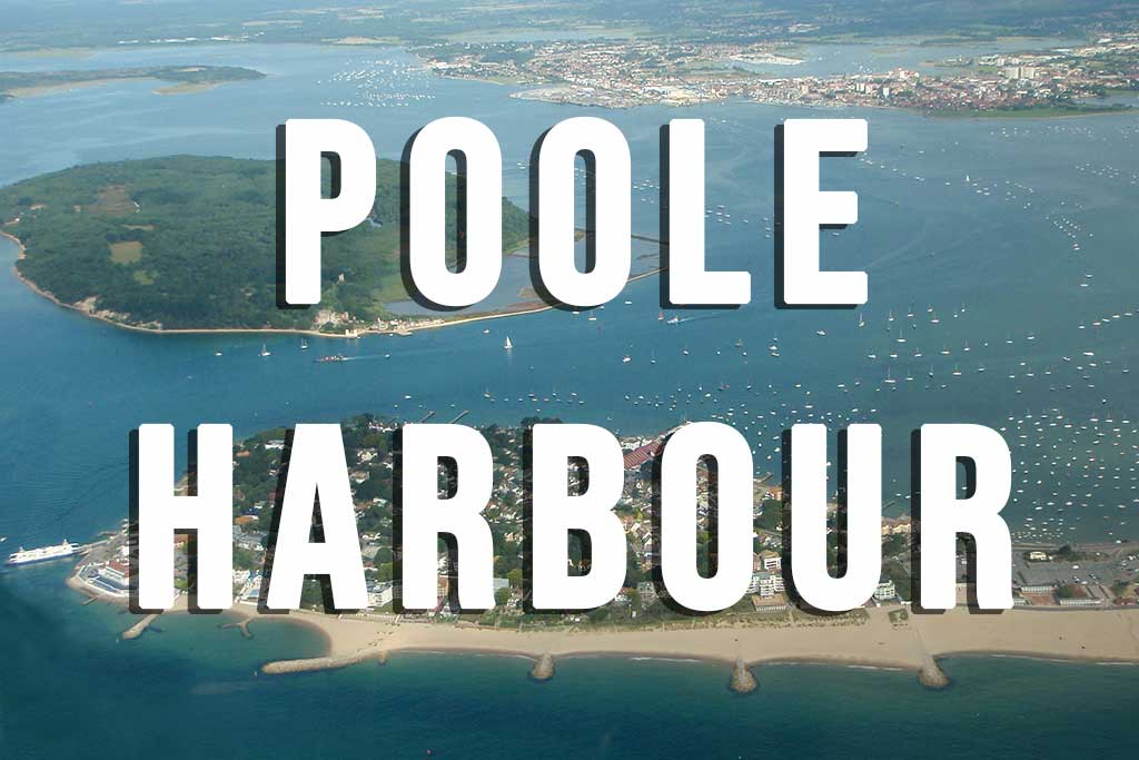
Poole Harbour
Poole Harbour is Europe’s largest natural harbour and the perfect destination for visitors looking to enjoy a mix of world class beaches as well as unspoilt countryside and coastal walks.
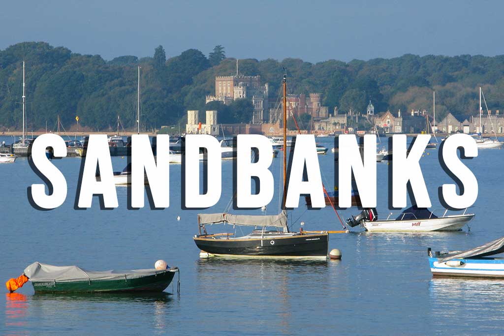
As you would expect, there are plenty of opportunities for adventure activities and watersports including kayaking, paddleboarding and sailing. The water inside the harbour around Sandbanks remains shallow for a long way out and is a particularly good place to learn windsurfing or kiteboarding safely. There are also some superb mountain biking routes around the harbour and through the Purbecks and along the Jurassic Coast.
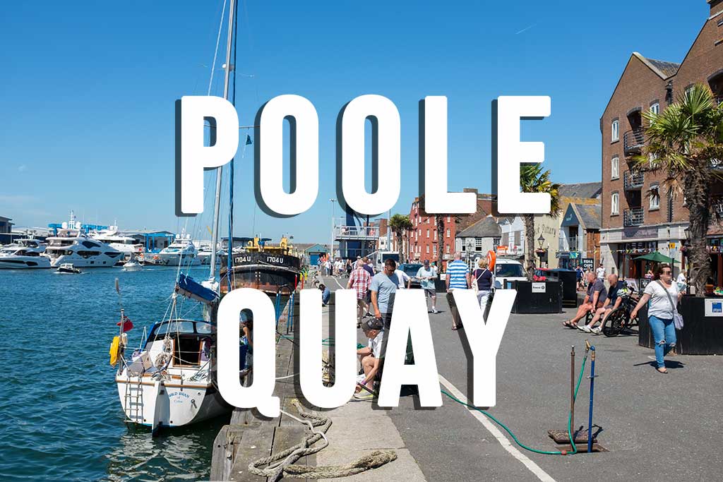
Poole has an excellent tourist information office located within the Poole Museum (free to enter) on Poole Quay. Their official website can be found at https://www.pooletourism.com and is a great resource to help plan you visit to Poole and surrounding area.

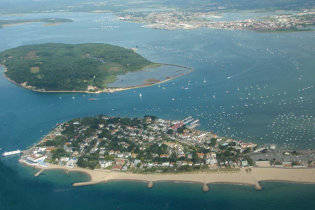
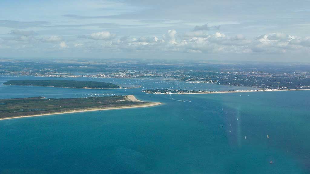
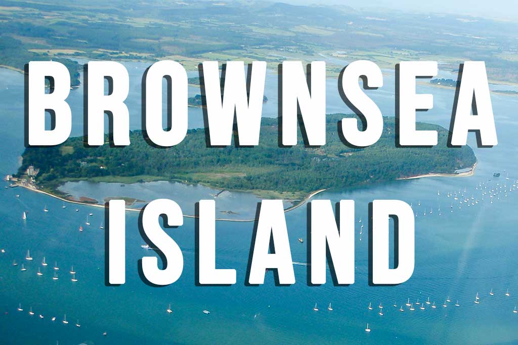
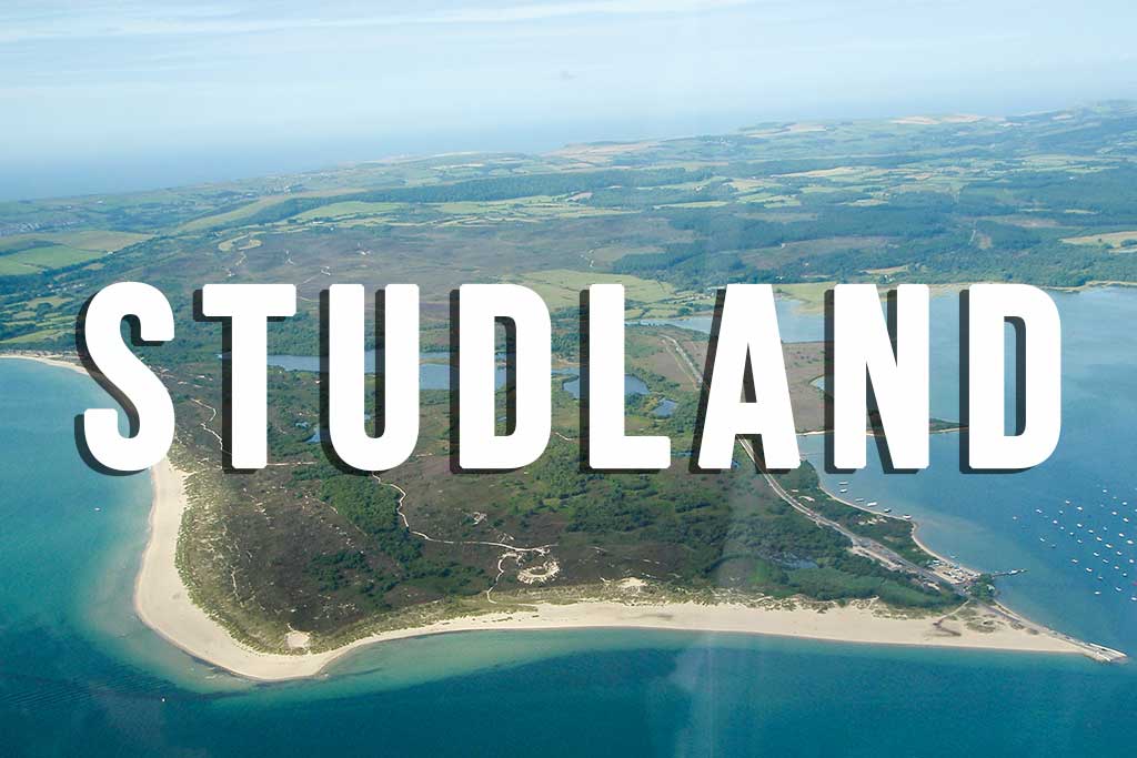
The map above shows Poole Harbour and surrounding areas of interest. Poole Quay lies at the northern edge of the harbour. Brownsea Island can be seen in the middle of the harbour. To the east lies the Sandbanks Peninsula famous for its stunning beaches. The Sandbanks Ferry takes you across the entrance to the harbour to Shell Bay on the the Studland Peninsula.

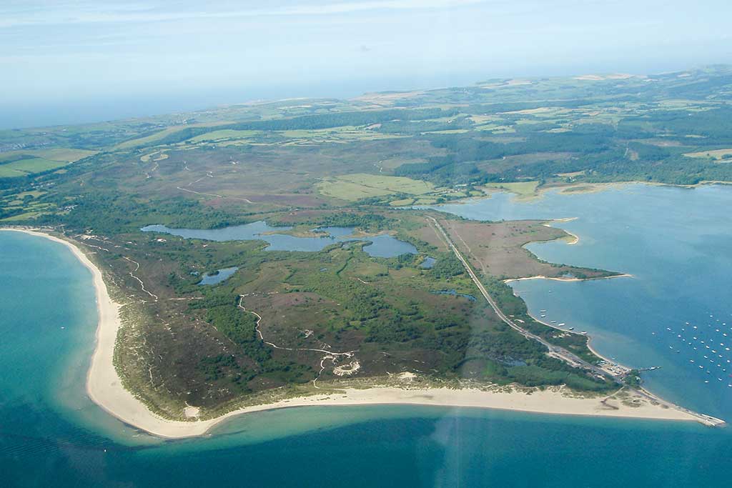
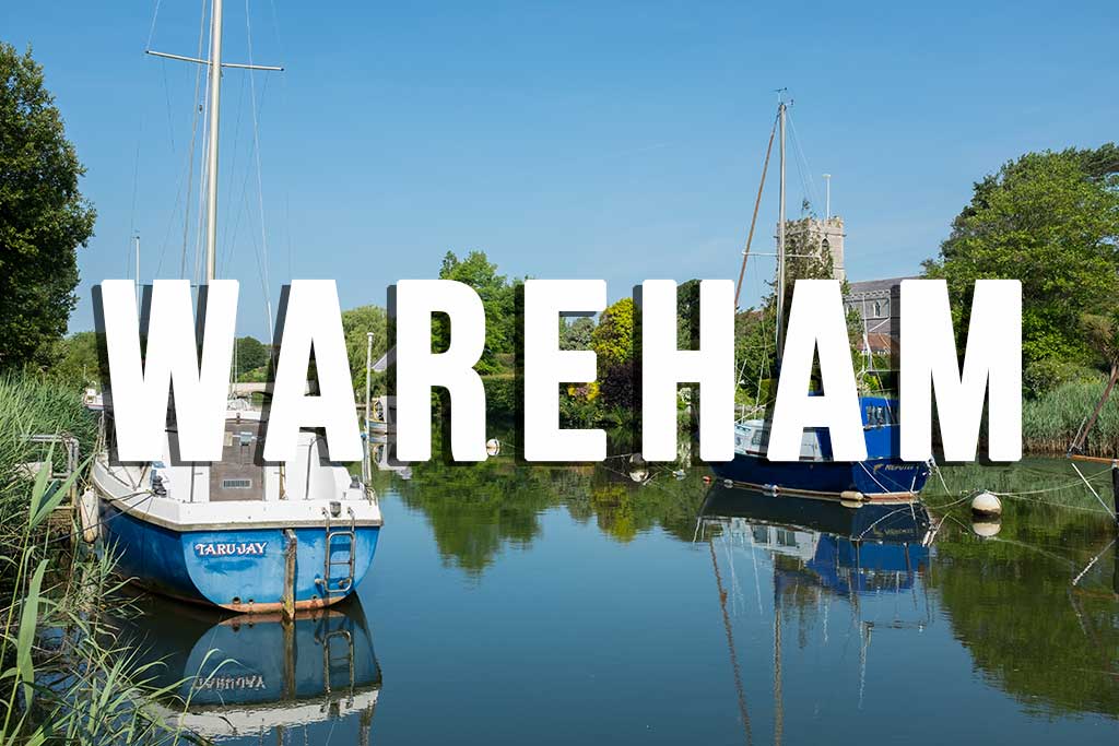
The Purbeck Hills are a ridge of chalk that extend from Old Harry Rocks in the east to Lulworth Cove in the West. There is a gap in the ridge at Corfe Castle. The whole region from Studland, Swanage and Corfe Castle across to Lulworth Cove and Durdle Door is known as the Isle of Purbeck or the Purbeck Peninsula. Wareham, a historic market town, lies on the banks of the River Frome that flows into western corner of Poole Harbour. Wareham is frequently referred to as the gateway to the Isle of Purbeck. You’ll also hear about the Jurassic Coast. This is a World Heritage Site that stretches from Studland Bay all the way along the Dorset Coast to Exmouth in East Devon, a distance of about 96 miles. This coastline is of outstanding value for its rocks, fossils and landforms – a geography teachers paradise. The South West Coast Path follows the entire length of the Jurassic Coast and then continues along the Devon and Cornwall coastline for another 534 miles to Minehead in Somerset.

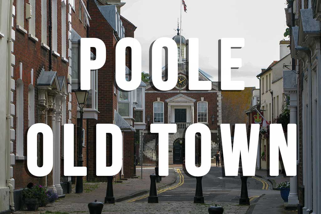


Related Pages: Poole Quay / Poole Old Town / Boat Trips from Poole Quay / Wareham / Sandbanks / Sandbanks Ferry / Brownsea Island / Sandbanks / Studland