
Studland is a small village on the Isle of Purbeck, surrounded by some of Dorset’s most attractive coastline and countryside. It lies at the southern end of Studland Bay, close to South Beach and within easy walking distance of Old Harry Rocks.
The village itself is small, with a historic Norman church, traditional pub and village shop, but its location makes it an excellent starting point for exploring the surrounding area. Four miles of sandy beaches stretch north towards the Sandbanks Ferry, while the South West Coast Path climbs onto the chalk headland at Handfast Point and Old Harry Rocks.
Immediately inland is the Studland and Godlingston Heath National Nature Reserve, a landscape of heathland, dunes, wetlands and woodland that includes Little Sea and Agglestone Rock.
Location: Isle of Purbeck, Dorset
Parking: National Trust South Beach Car Park, BH19 3AU (Google map)
Nearest beach: South Beach
Bus: Purbeck Breezer 50
Nearby: Old Harry Rocks, Studland Bay and Godlingston Heath

Studland Village
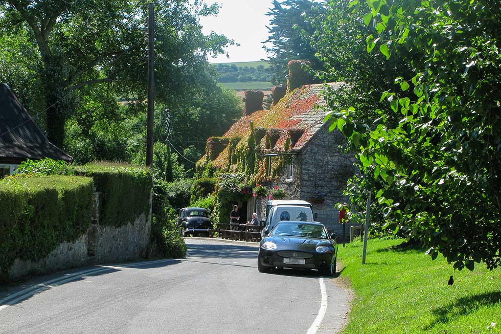
Studland is considerably smaller than nearby Swanage and has retained much of its traditional village character. There is no conventional town centre or shopping street; instead, houses and cottages are scattered along the lanes leading towards the beaches and surrounding countryside.
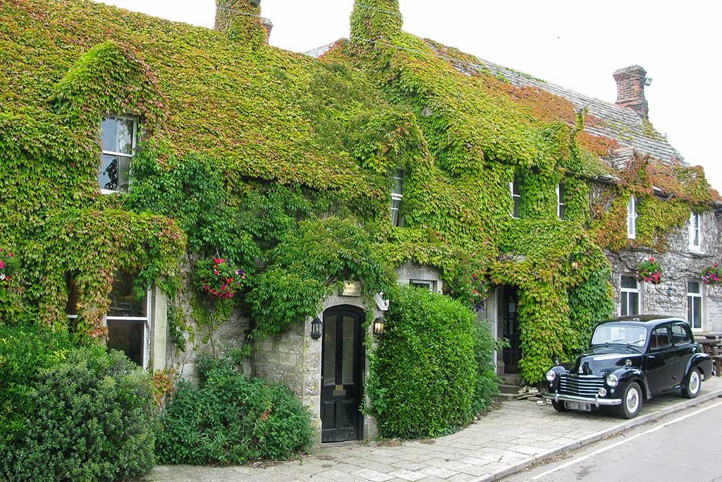
At the centre of the village are the Bankes Arms, St Nicholas’ Church and a small village shop and Post Office.
The narrow country lanes around Studland can become busy during fine summer weather. If you are visiting the village, South Beach or Old Harry Rocks, the National Trust car park beside the Bankes Arms is generally the most convenient place to leave the car.
St Nicholas’ Church

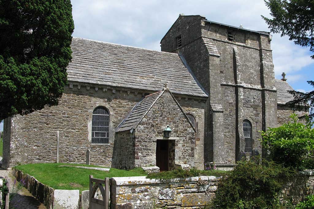
St Nicholas’ Church is one of the most interesting buildings in Studland and is believed to be one of Dorset’s best-preserved Norman churches.
The present church dates largely from the 12th century, although it stands on the site of an earlier Saxon church. Its simple stone interior and Norman architecture have survived remarkably well, making it worth visiting even if you are not normally someone who seeks out historic churches.
St Nicholas is traditionally regarded as the patron saint of sailors as well as children, making the dedication particularly appropriate for a church overlooking Studland Bay.
A small footpath leads from the rear of South Beach Car Park towards the church, while the main entrance is from Church Road.
Address: Church Road, Studland, BH19 3AT (Google map)
The Bankes Arms & Isle of Purbeck Brewery

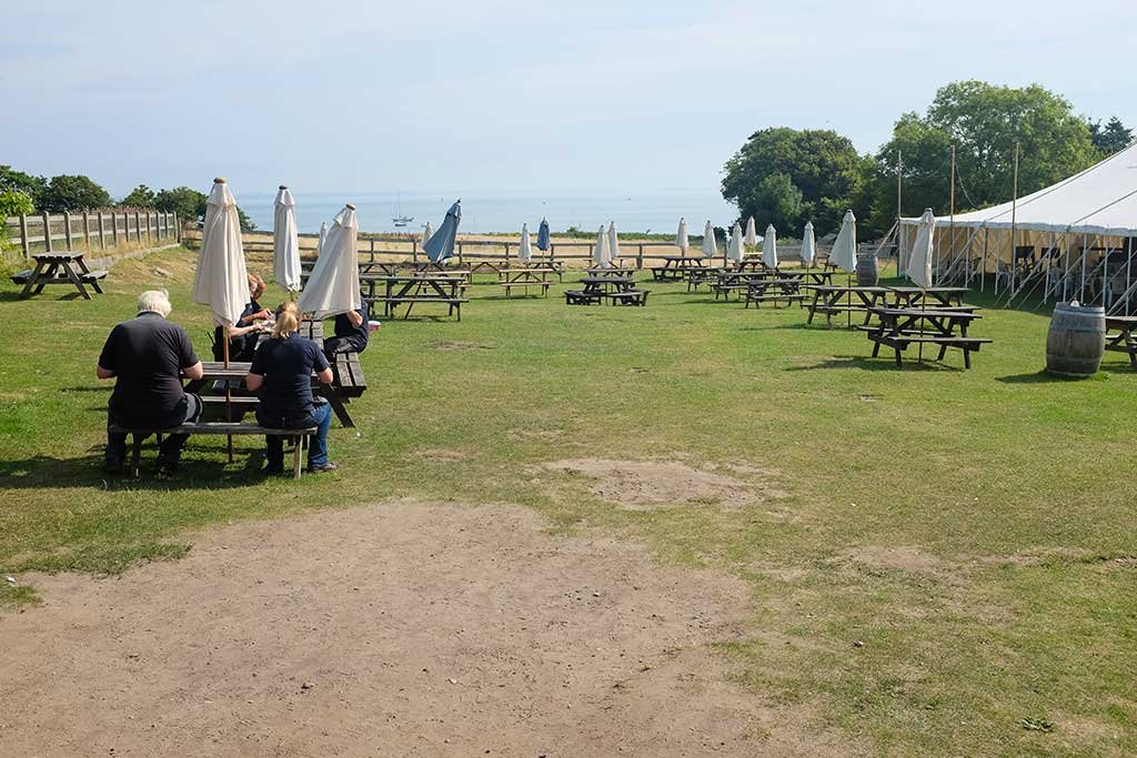
The Bankes Arms is a traditional stone-built pub in the centre of Studland, close to South Beach Car Park. One of its main attractions is the large beer garden overlooking Studland Bay, making it a particularly pleasant place to stop for a drink or meal in fine weather.
The pub is particularly convenient before or after walking to Old Harry Rocks. The South West Coast Path can be reached just down the hill, while the pedestrian lane leading to South Beach is also nearby.
Bankes Arms website: https://www.bankesarms.com
Next door to the pub is the Isle of Purbeck Brewery, an independent family-run brewery established in 2003. It produces a range of locally brewed ales and cider, including Fossil Fuel, Solar Power and Full Steam Ahead IPA, with several of the brewery’s beers available at the Bankes Arms.
The brewery grew out of the success of the Bankes Arms Beer Festival and now supplies its beers to pubs, restaurants and retailers both locally and further afield.
Isle of Purbeck Brewery website: https://www.isleofpurbeckbrewery.com
Studland Village Shop

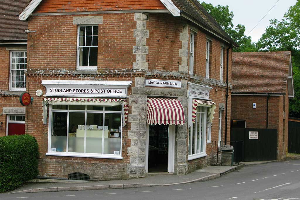
Studland has a small village shop and Post Office selling groceries, drinks and other everyday essentials.
It is the only general food shop in the village, so it is useful for walkers and beach visitors wanting to pick up drinks, snacks or picnic supplies without travelling into Swanage.
Look out for the rather memorable “May Contain Nuts” sign above the entrance.
Studland Beaches

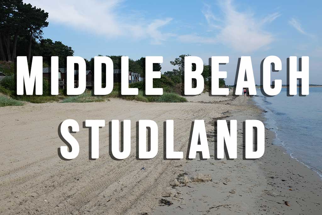
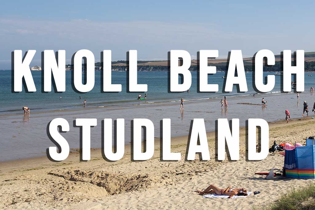
Studland Bay has around four miles of sandy coastline divided into five main beach areas: Shell Bay, Studland Naturist Beach, Knoll Beach, Middle Beach and South Beach.
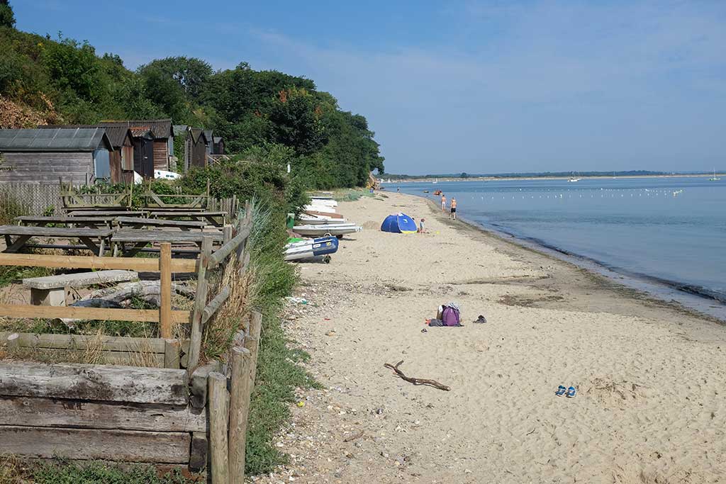
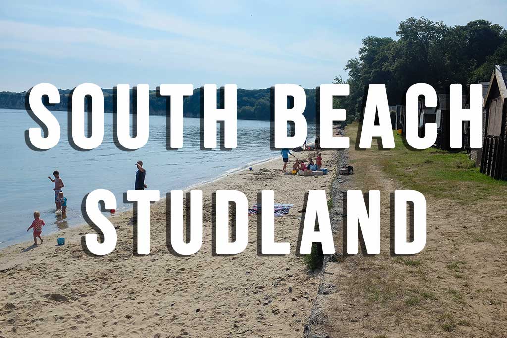
South Beach is the closest to Studland village and can be reached on foot from Manor Road. Middle Beach is also within easy walking distance, while Knoll Beach, approximately a mile farther north, has the widest range of visitor facilities and watersports.
Rather than cover all five beaches here, see our Studland Beaches Guide for a comparison of each beach, including facilities, parking and which is best suited to your visit.
Walk to Old Harry Rocks
Studland village is one of the easiest starting points for walking to Old Harry Rocks.
From South Beach Car Park, turn right and walk downhill past the Bankes Arms. At the bottom of the road, pass the public toilets and follow the signposted footpath towards Old Harry Rocks.
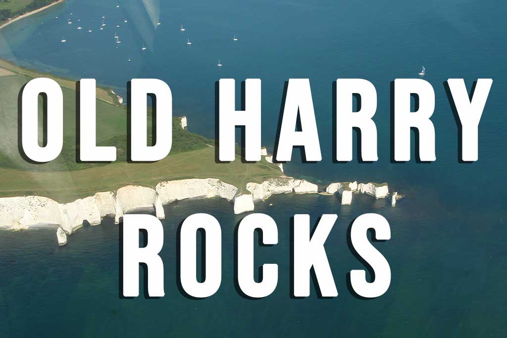
The path climbs gradually onto the chalk headland at Handfast Point, with increasingly impressive views across Studland Bay towards Poole Harbour and Bournemouth.
Old Harry Rocks is approximately 1 mile from the village, and the walk takes around 25–30 minutes each way.
The cliff edges around Handfast Point are high and unfenced, so particular care is required.
Studland and Godlingston Heath
Inland from the village and beaches is the Studland and Godlingston Heath National Nature Reserve, an extensive landscape of heathland, dunes, woodland and freshwater habitats.
The reserve is particularly important for wildlife and is one of the few places in Britain where all six native reptile species can be found.
Highlights include Little Sea, a freshwater lake behind Knoll Beach, and Agglestone Rock, a huge sandstone boulder standing on Godlingston Heath.
A National Trust 3-mile circular walk starts at Middle Beach Car Park and visits Agglestone Rock before returning to Studland.
See our Studland and Godlingston Heath National Nature Reserve guide for walking information and more about the area’s wildlife.
Studland During the Second World War
Studland Bay played an important role during the Second World War. The beaches were initially fortified against the threat of German invasion before later becoming a major training area for Allied forces preparing for D-Day.
At Redend Point, close to Middle Beach, Fort Henry was built as an observation post overlooking the bay. In April 1944, King George VI, Winston Churchill, Dwight Eisenhower, Bernard Montgomery and Lord Mountbatten watched military exercises from here.
A surviving wartime pillbox can also be seen at the northern end of South Beach.
For the full story, see our Fort Henry and Studland Bay During World War II page.
Getting to Studland
Studland is around 4 miles north of Swanage and can be reached by road via the B3351.
From Poole and Bournemouth, the most direct route is via Sandbanks and the Sandbanks Ferry, which carries vehicles, cyclists and pedestrians across the entrance to Poole Harbour. The ferry lands at Shell Bay, from where Ferry Road continues south through Studland.
The Purbeck Breezer 50 bus provides a particularly useful alternative to driving, connecting Studland with Swanage, Sandbanks, Poole and Bournemouth.
During busy summer days, travelling by bus can avoid the narrow roads and pressure on the village car parks.

Studland Village Parking
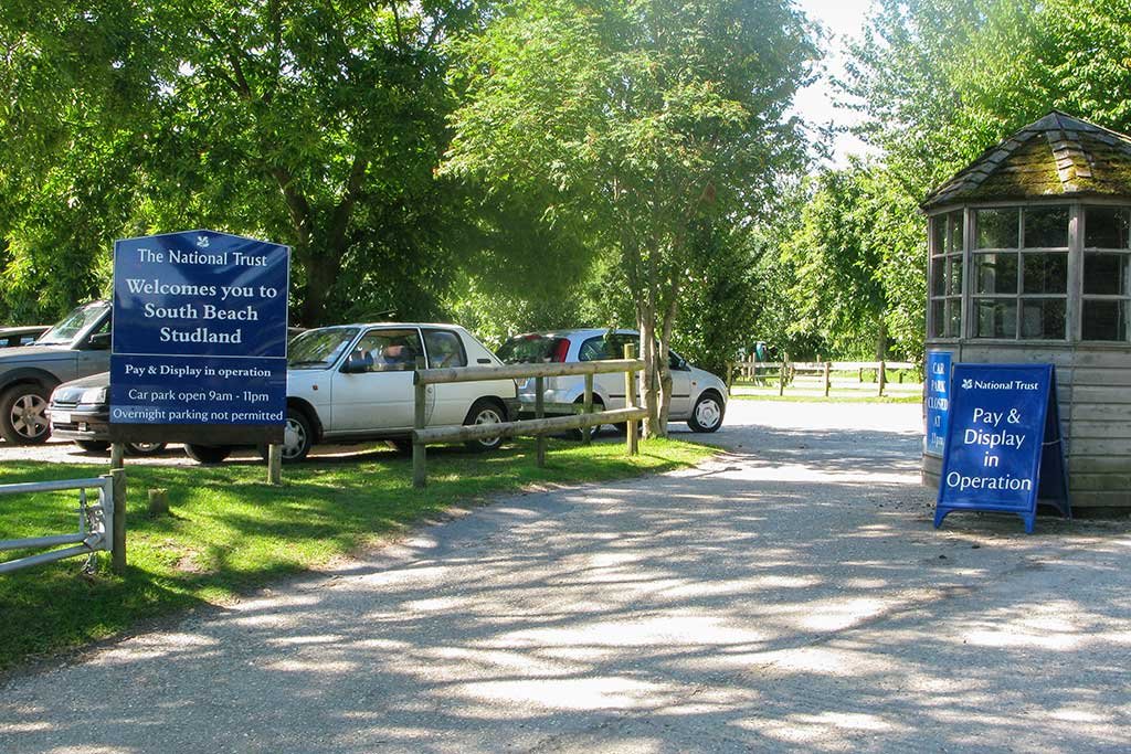
The National Trust South Beach Car Park is in the centre of Studland beside the Bankes Arms and is the most convenient car park for the village, South Beach and walking to Old Harry Rocks.
Sat Nav postcode: BH19 3AU
National Trust members can park free but must scan their membership card on every visit. Blue Badge holders can also park free when displaying a valid Blue Badge.
| Parking time | Cars |
|---|---|
| Up to 2 hours | £6 |
| Up to 4 hours | £12 |
| All day | £16 |